Four days by 4x4 across the Altiplano, flamingos in coloured lagoons, the Salar de Uyuni, the silver mines of Cerro Rico and a festival on Lake Titicaca.
“Next time I say let's go someplace like Bolivia, let's go someplace like Bolivia.” We wrote this Paul Newman line at the start of the Bolivian leg of our journey. We crossed the border from Argentina at Villazón and continued by bus to the town of Tupiza. The area around Tupiza is known for its red rocks and canyons. Butch Cassidy and the Sundance Kid once hid from the law here. We had already had plenty of colourful rocks in Argentina, so we decided to set off from here straight away on a four-day trip to the land of volcanoes and lagoons.
Four days across the Altiplano
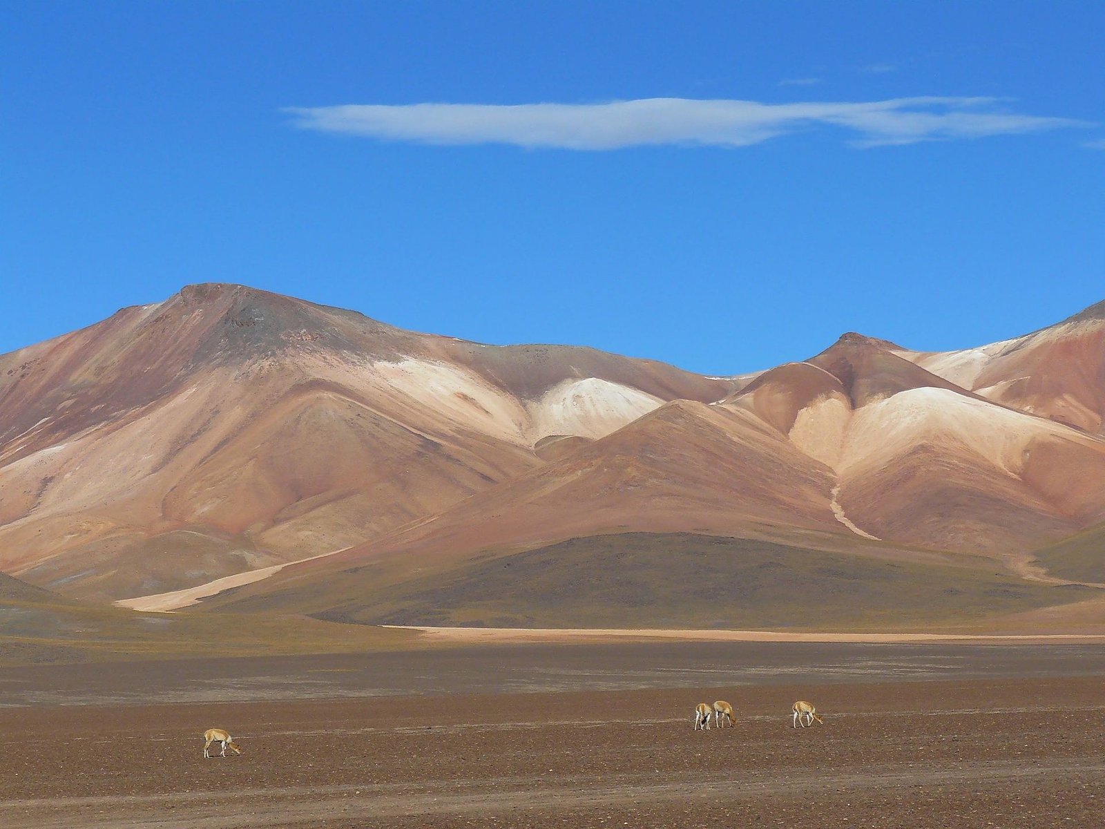
Most people start from Uyuni, but the agencies there do not have a good reputation. We went with the biggest agency in Tupiza. Our team was a driver, a cook, two Americans and us. The cook was excellent, but the driver was also supposed to be our guide and all day he only ever told us the name of the place we had arrived at. On the first day we climbed onto the Altiplano plateau at around 4,200 metres. On the way we saw deep canyons, llamas, condors and rheas. The altitude was no problem for us, we had already acclimatised in Argentina. We slept with a local family in a small village, far from the other vehicles.
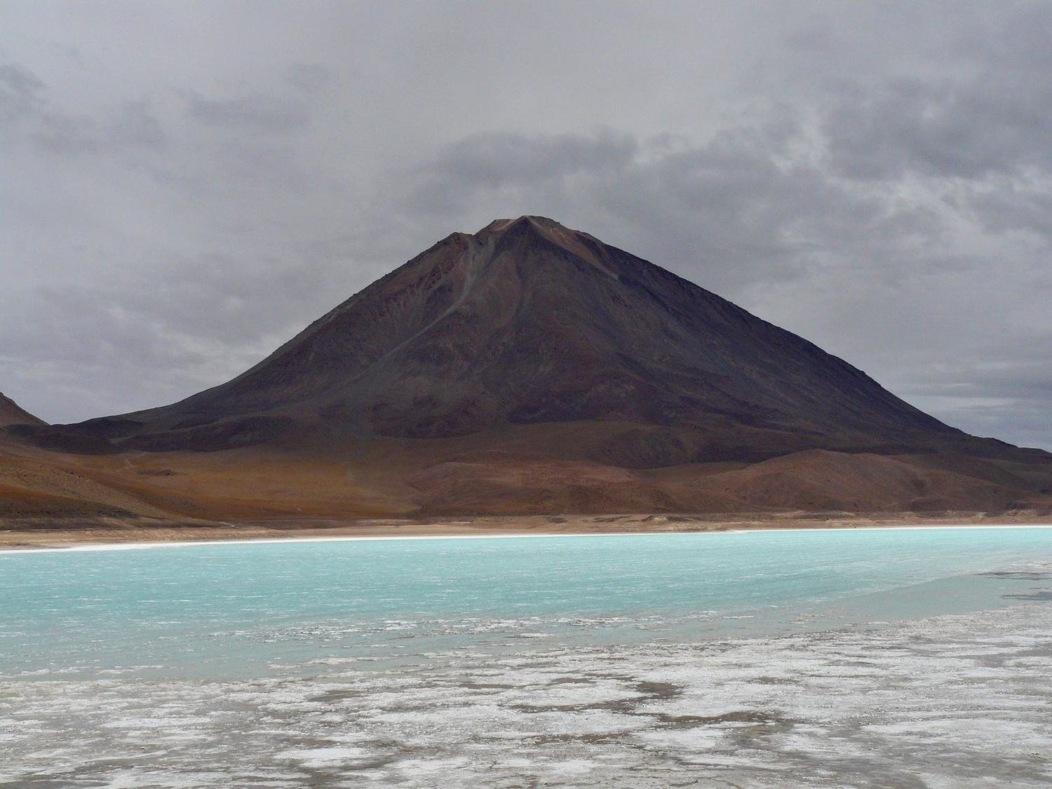
On the second day we drove the first few dozen kilometres in the dark. Then the lagoons and smaller salt flats appeared. Near the Chilean border we passed Laguna Verde below the Licancabur volcano and headed north to the hot springs and geysers.
At around five thousand metres lies the Sol de Mañana geothermal field. Steam hisses from holes in the ground and grey mud bubbles in the pools. Coloured volcanoes stand all around. In comparison, the geothermal areas of New Zealand seem like a cup of tea. Before sunset we reached Laguna Colorada. The water is coloured red by algae and tiny organisms, and hundreds of flamingos wade in the shallows. Three species live on the Altiplano – the Andean, Chilean and James's flamingo.
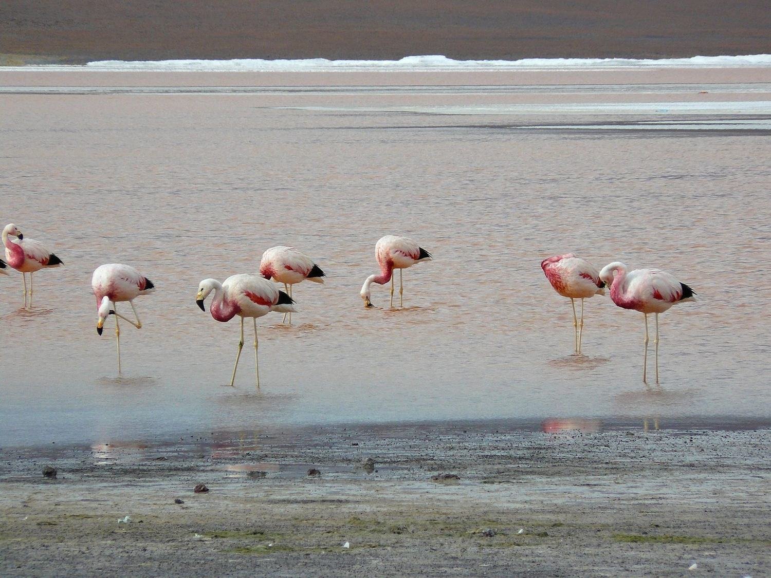
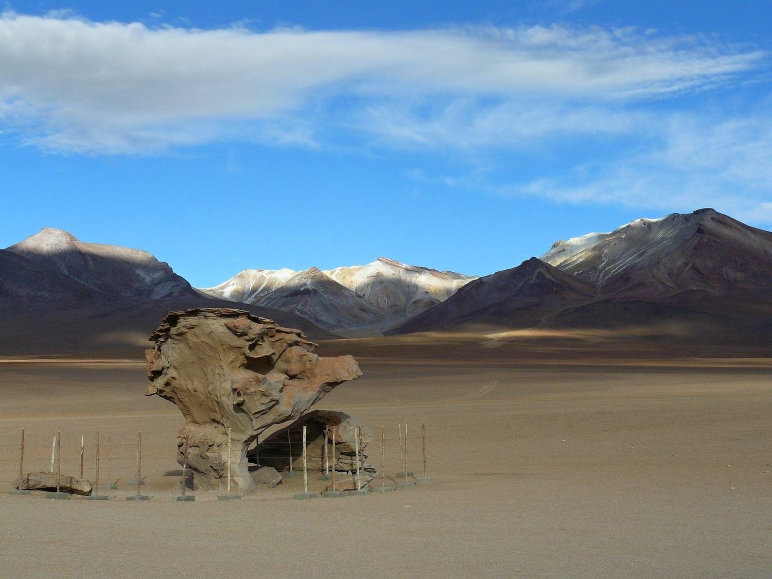
On the third day the weather was even better. We drove through the Siloli Desert with its rock formations, the best known of which is Árbol de Piedra, a stone tree sculpted by wind and sand. Then we went round four smaller lagoons. Each had a different colour and there were flamingos everywhere.
The excitement faded when the driver could not start the car. Three more vehicles caught up with us and the drivers tried to fix the electrics. Half an hour later we reached another lagoon, where the engine died again. In the afternoon a pile of stones blocked our way. Ten men, some in balaclavas, sat by the road protesting against cars crossing their land. After some negotiating they left and we cleared the stones. But the driver had switched off the engine in the meantime. For the next two hours ten Bolivian drivers tried to get it going at once. In the end it all worked out.
We spent the last night in a salt hotel. It is an ordinary house, except that inside the walls are made of blocks of salt, the tables and benches are salt too, and the floor is covered with salt instead of sand. The Salar de Uyuni was already visible on the horizon.
Salar de Uyuni
In the morning we drove out onto the white plain and felt as if we were driving on snow. The Salar de Uyuni is the largest salt flat in the world, covering more than ten thousand square kilometres at an altitude of around 3,650 metres.
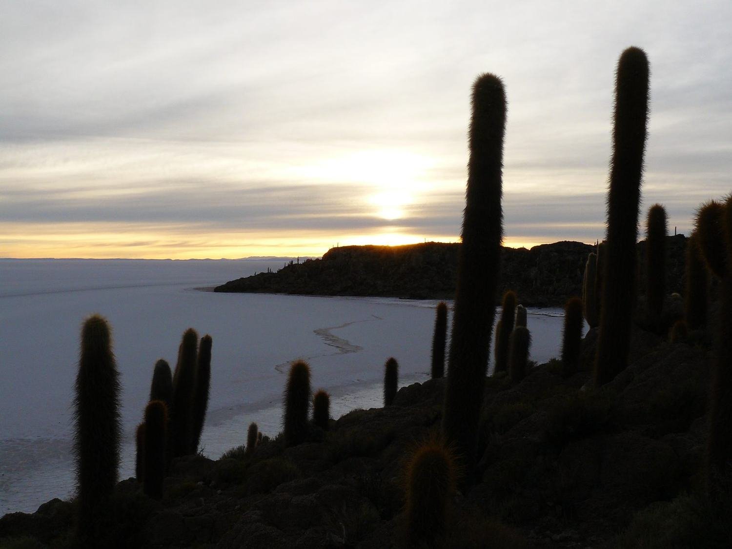
The main attraction is Incahuasi Island in the middle of the flat. It is covered with columnar cacti that grow to around ten metres and grow very slowly. From the top there is a view of the white plain in every direction. Great, apart from all the other tourists. On the flat you lose any sense of distance and scale, so everyone takes funny forced-perspective photos. We could not resist either.
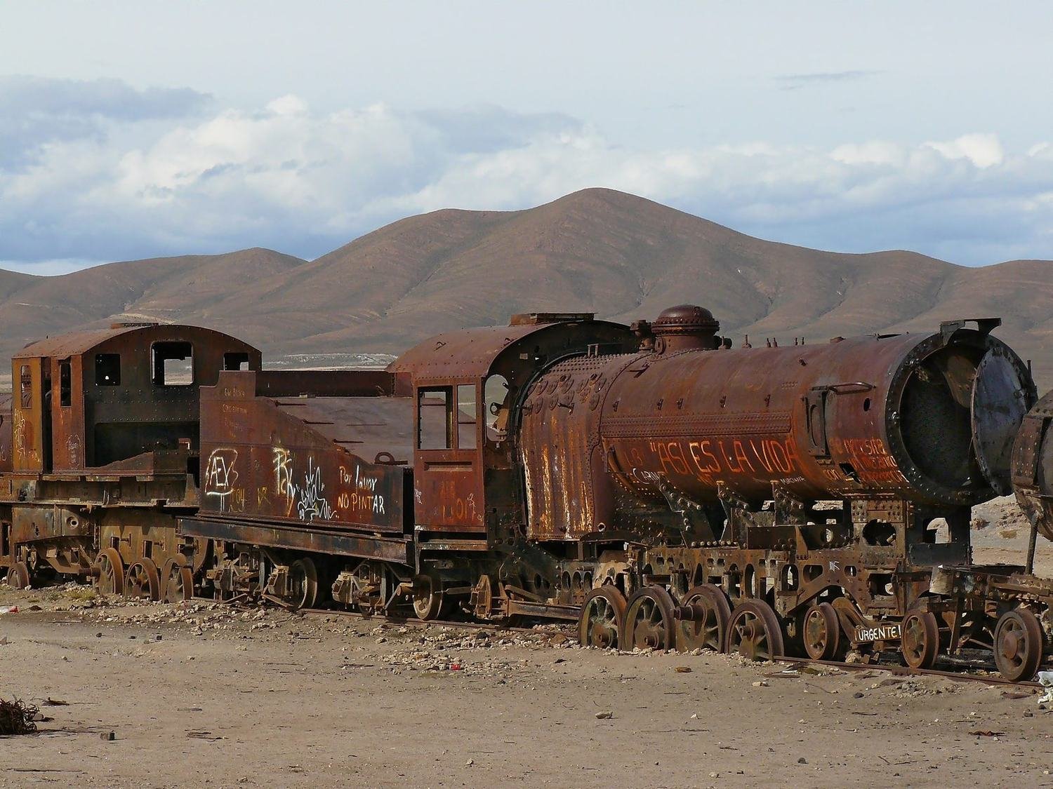
Before Uyuni we stopped at the train cemetery. Dozens of rusting locomotives have stood here since mining declined, and with it the railway that carried minerals to the Pacific.
Potosí and the mines of Cerro Rico
Potosí reminded us of Prague's Old Town – narrow lanes, low historic houses and a church on every corner. But there are no pedestrian zones, and cars and the local micro buses weave through the lanes, blowing exhaust straight into your face. The city lies at around 4,000 metres and is one of the highest cities in the world. We expected headaches and sleepless nights, but after the Altiplano trip we slept like babies.
Above the city rises Cerro Rico, the Rich Mountain. In Spanish times it was famous for silver mining; today it is mainly tin, lead and zinc. We went on a mine tour. First we bought gifts for the miners at the market – work gloves, dynamite and coca leaves. Then our guide led us into a tunnel. We waded through muddy water, the ceiling got lower and for a short stretch we had to crawl.
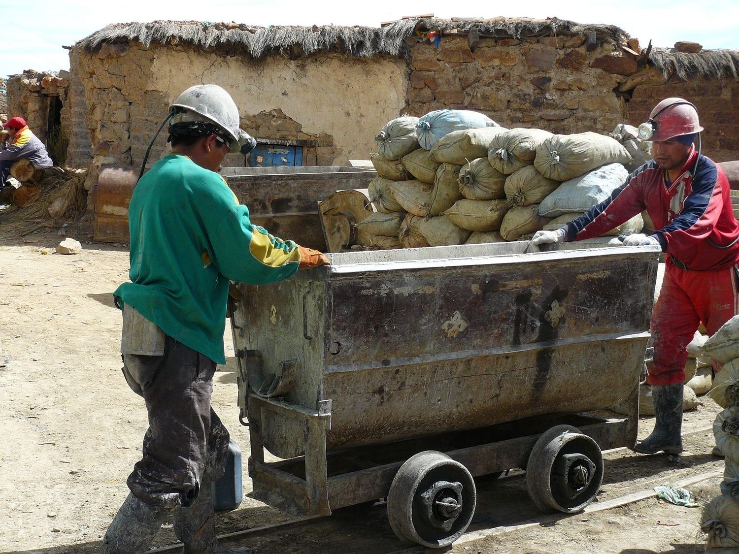
In one passage sits a statue of the miners' god, Tío. He looks frightening and the miners bring him gifts for luck. A little further on we met a miner working with nothing but a chisel, a hammer and dynamite. Dust swirls and deeper in the mine it is hot. Most miners develop silicosis after years of working in these conditions.
Sucre and La Paz
A good road leads from Potosí to Sucre and the journey takes less than three hours. Sucre is nicknamed the White City and the name fits – the historic houses have fresh plaster and gleam with cleanliness. At the Casa de la Libertad we learned that the fighter Juana Azurduy played an important role in the struggle for independence from Spain. We arrived in La Paz by night bus at dawn. The road first passes through the suburb of El Alto on the edge of the plateau and then drops into a canyon where high-rise buildings stand in the centre. The slopes around are dotted with small houses.
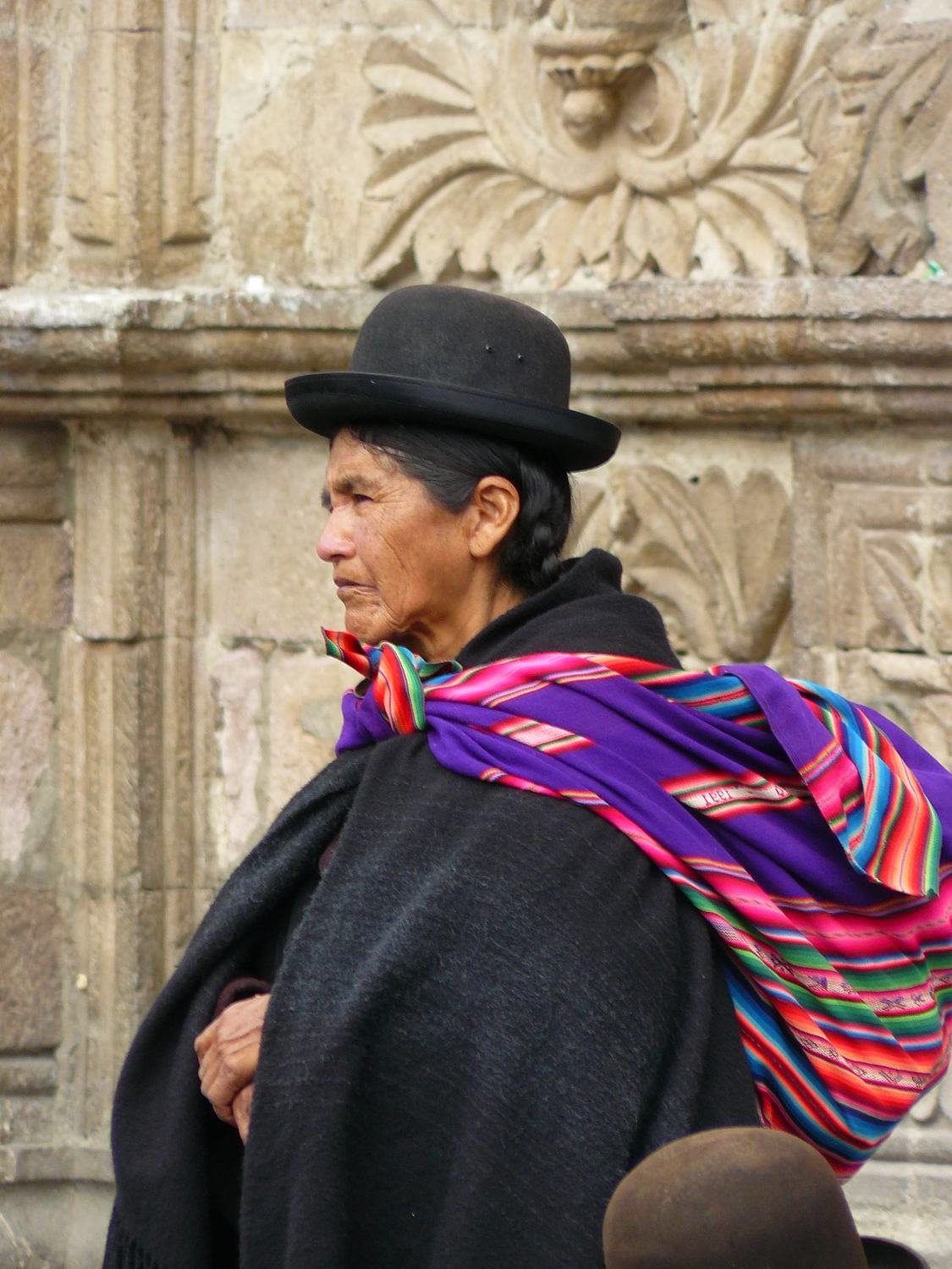
Brightly painted buses drive through the streets, and at the markets women in bowler hats and wide pollera skirts sell their goods. From La Paz you can also cycle the Death Road from La Cumbre at 4,500 metres down to Coroico. In places the road is only a few metres wide, with a drop of up to a kilometre below.
A festival on Lake Titicaca
Our last stop in Bolivia was Copacabana on the shore of Lake Titicaca. We arrived just in time for the Fiesta de la Cruz. A procession of dancers of all ages in all kinds of costumes and masks set off from the square, passed the basilica and ended at a small church on the hill.
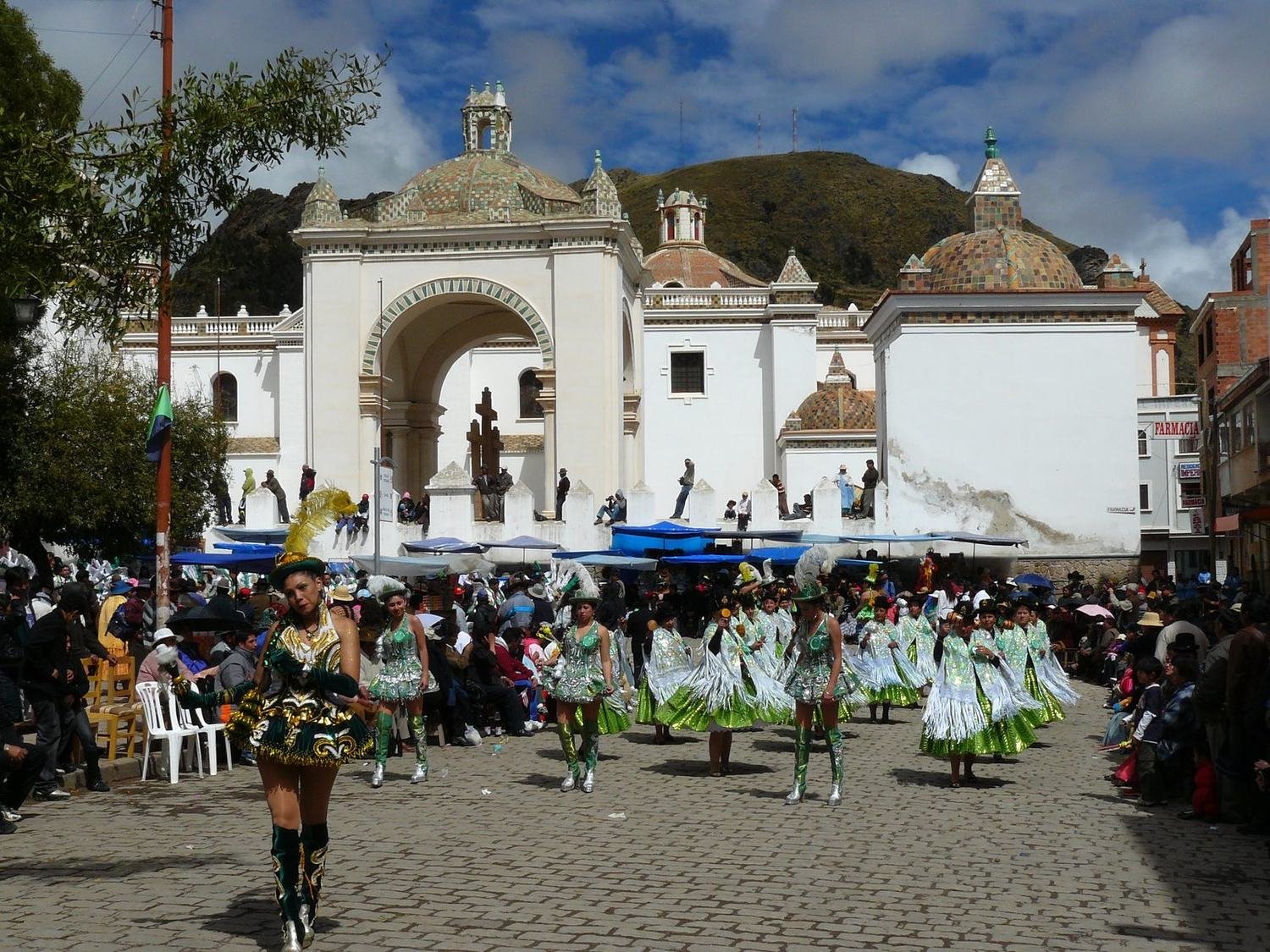
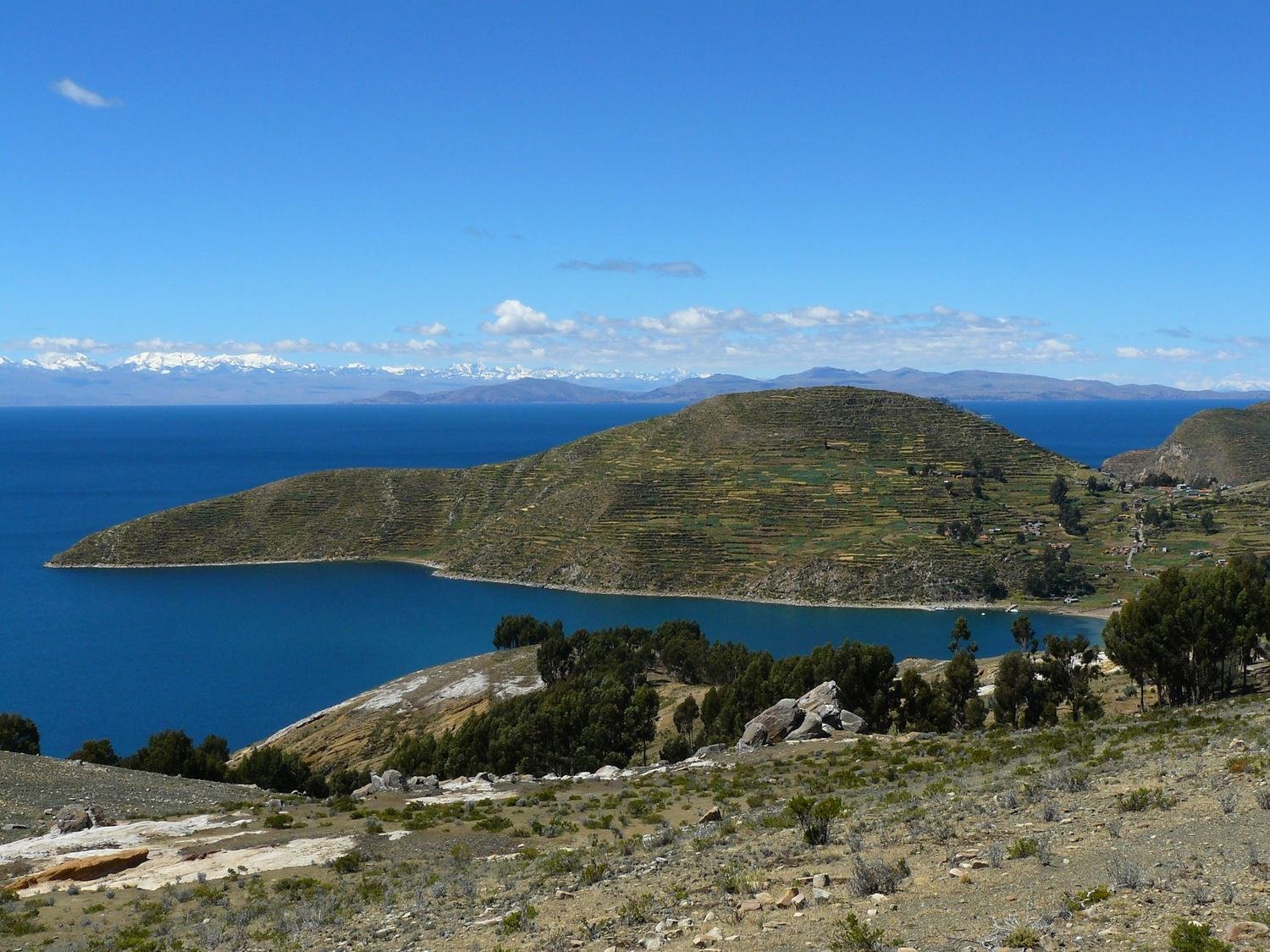
What impressed us most was the stamina of the participants, who were still dancing in the streets at night. The next day we took a two-hour boat ride to the north of Isla del Sol, walked around a few ruins and crossed along the ridge to the south, where the boat returns from.
When we landed the celebrations were still going – dancing figures staggered through the evening streets and old women in bowler hats with a bottle of beer in hand laughed merrily. Peru was waiting across the border.
Practical tips
Choose your Altiplano agency carefully and expect freezing nights; mornings are often below zero. Take the altitude seriously – do not rush the first few days, drink plenty of water and try coca tea. I am preparing Bolivia as an expedition. If it appeals to you, let me know in the questionnaire Where next?