An old Subaru for three thousand dollars, kayaks in Abel Tasman, the five-day Rees-Dart trek, penguins in the Catlins and Ball Pass below Mount Cook.
We flew into New Zealand from Asia in February. After months in crowded buses we wanted to enjoy some freedom. So in Christchurch we bought a car – an old Subaru Legacy for three thousand New Zealand dollars. At the end of the trip we sold it again. New Zealand is the ideal country for travelling by car. The roads are empty, campsites are everywhere and every bend reveals a different landscape. The South Island is more mountainous and wilder, so we spent most of our time there.
In Christchurch we spent a few days looking for a car and sorting out paperwork. Then we headed north with a map and a list of treks.
Kaikoura and the north of the island
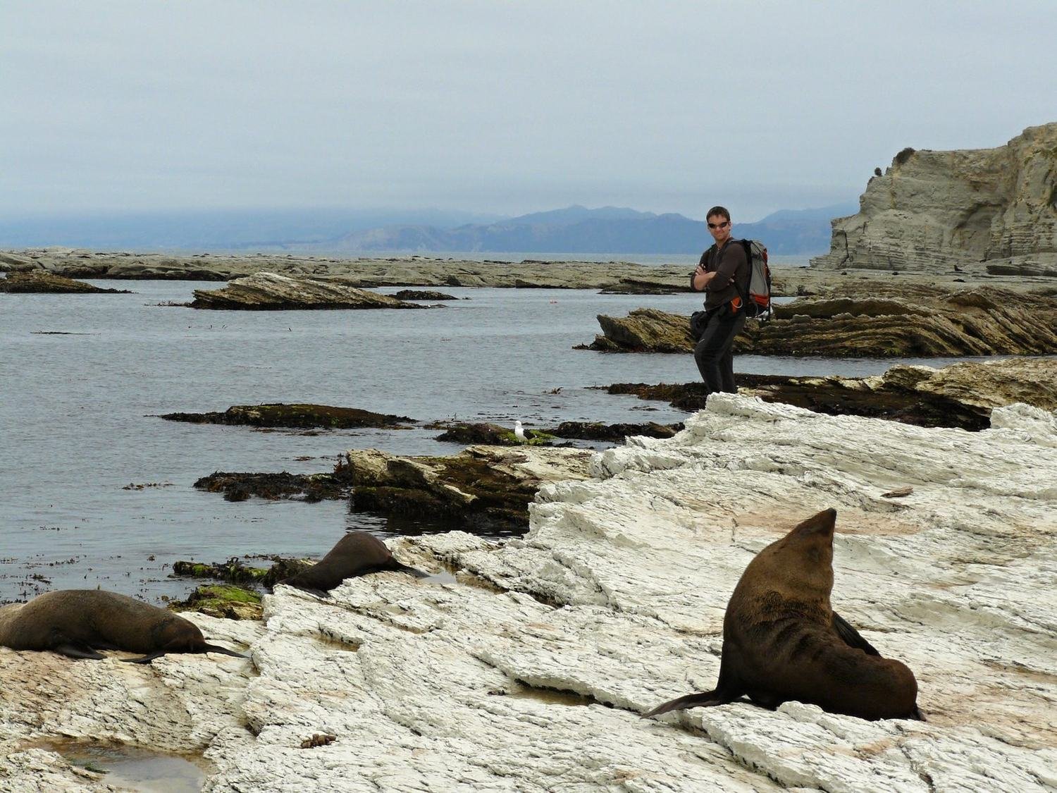
Our first stop was Kaikoura on the east coast. Fur seals bask on the rocks by the sea here and are used to people. You can get within a few metres of them, but it is best to give them space – they can get angry. When we left the marked path we were literally tripping over seals. Some were real hulks and roared menacingly when we came close. In the distance dolphins played in the waves.
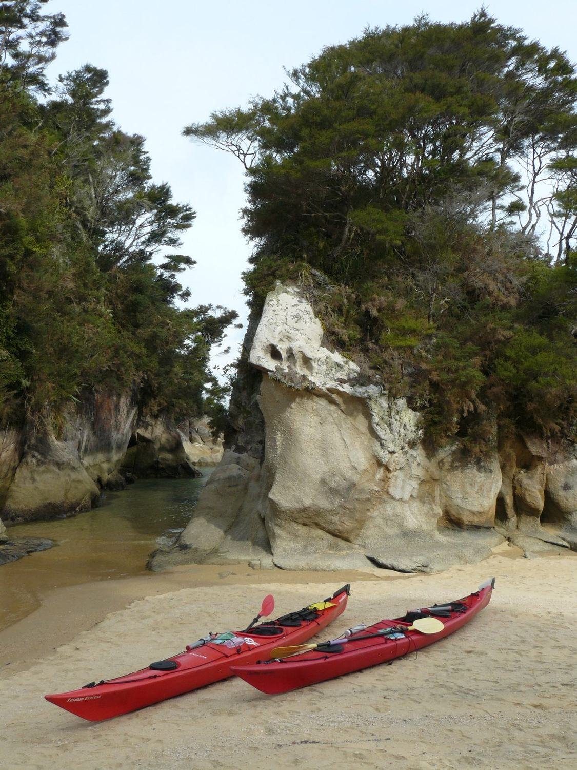
In the north of the island we walked the Queen Charlotte Track. We covered the fifty kilometres along the ridge above the bays in two days. Then we spent three days kayaking along the coast of Abel Tasman National Park. Kayaking in Abel Tasman is a joy. Golden beaches, crystal-clear water and campsites accessible only from the sea. In one lagoon seals raced around our kayak. On one of the beaches we even came across a wedding.
The West Coast and the glaciers
On the West Coast we stopped at the Pancake Rocks, which look like stacks of pancakes. At high tide water sprays out of them. Then we drove on to the Franz Josef and Fox glaciers, which flow from the mountains almost down to the rainforest.
The Rees-Dart Track
The most beautiful trek was the five-day Rees-Dart circuit near Queenstown. It follows two valleys and crosses two passes – Rees Saddle at 1,470 metres and Cascade Saddle at around 1,500 metres. At the top there are views of glaciers and waterfalls.
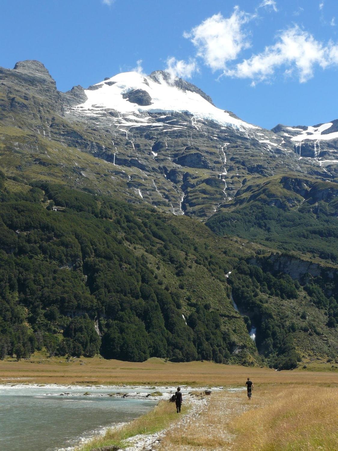
The only nuisance was the sandflies. They are tiny, but they bite and the bites itch for days. Repellent helps only a little. Then we set off for Milford Sound, a fjord with waterfalls tumbling from the cliffs into the sea. On the way we climbed to Gertrude Saddle. In Fiordland National Park we also walked part of the Kepler Track to Luxmore Hut.
Catlins
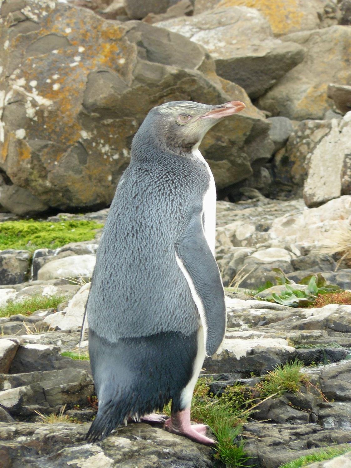
In the south-east of the island the Southern Scenic Route runs through the Catlins. There are fewer tourists here and lots of wildlife. In Curio Bay at low tide you can see petrified tree trunks about 160 million years old. In the evening yellow-eyed penguins, among the rarest penguins in the world, come ashore. We waited for them hidden behind rocks, and at dusk they really did appear.
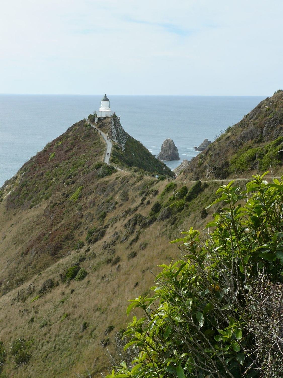
On the cliff at Nugget Point stands an old lighthouse, with rocky islets jutting out of the sea below. Near Waipapa Point the ship Tararua was wrecked in the 19th century and 131 people died. After that tragedy a lighthouse was built here.
In Dunedin we visited the Otago Peninsula and Larnach Castle, the only castle in New Zealand.
Mount Cook and Ball Pass
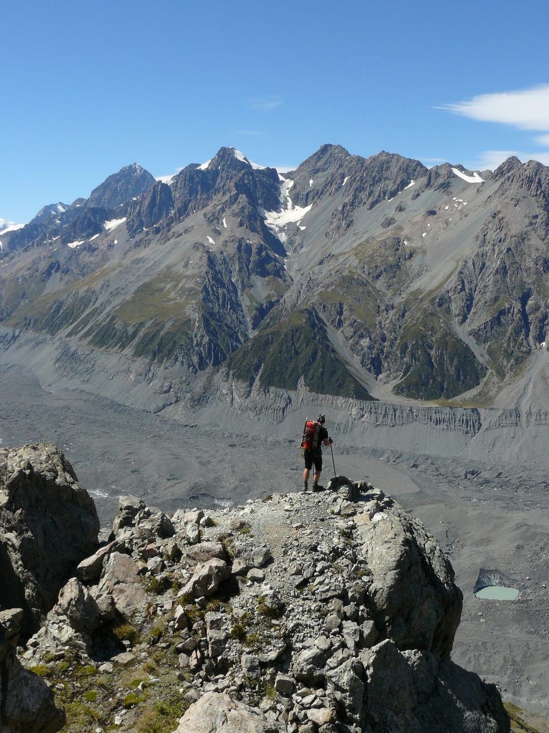
At 3,753 metres Mount Cook is the highest mountain in New Zealand. Below it we crossed Ball Pass at 2,130 metres. Higher up we needed crampons.
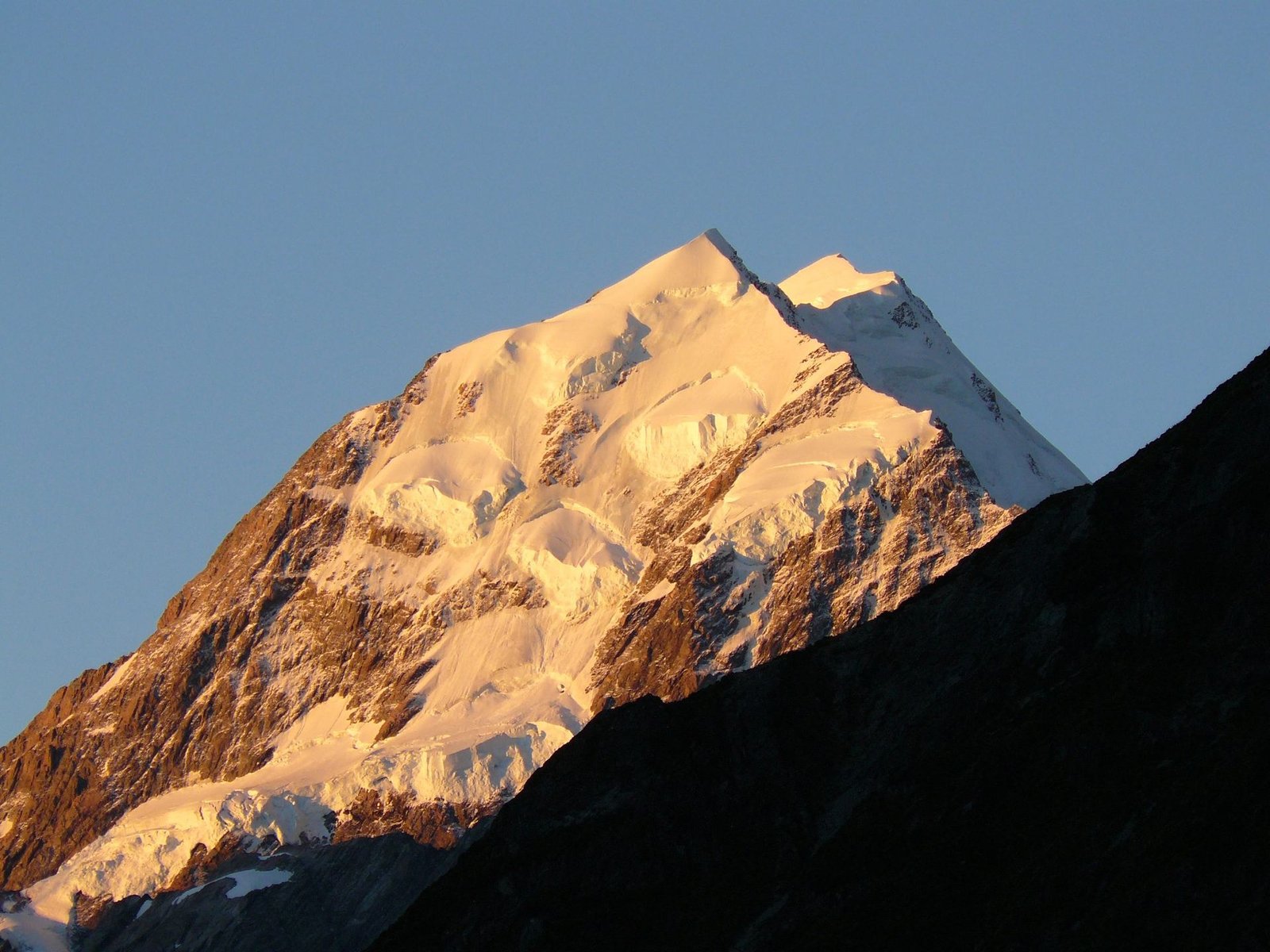
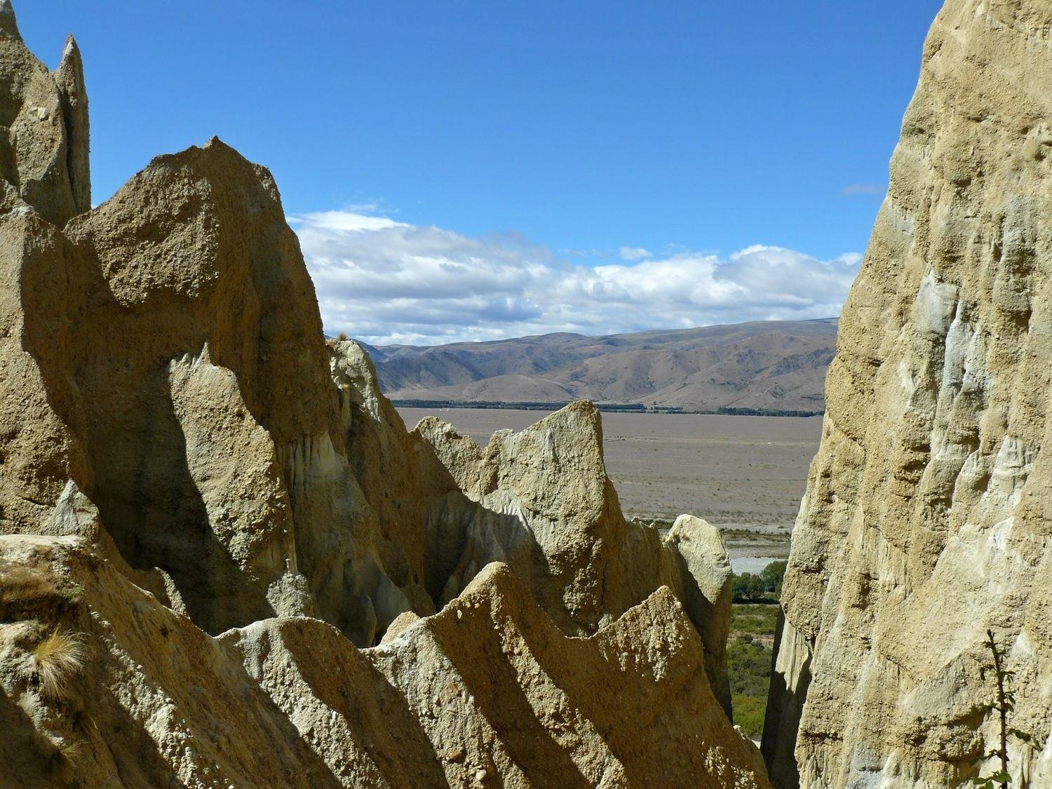
It was the second hardest trek of the whole trip, right after Thorung La in Nepal. Rocks, snow and steep slopes. But the view of the glaciers and the summit of Mount Cook was worth it. On the way north we stopped at the Clay Cliffs near Omarama. The clay towers and gullies look like something from a western.
We also managed Arthur's Pass and a bike ride in Hanmer Springs. In Christchurch we sold the car and flew to the North Island.
Tongariro
On the North Island we crossed Tongariro, a volcanic national park. At night it was minus four degrees and in the morning we set off wearing gloves. Past the Ngauruhoe and Ruapehu volcanoes, across craters and emerald lakes.
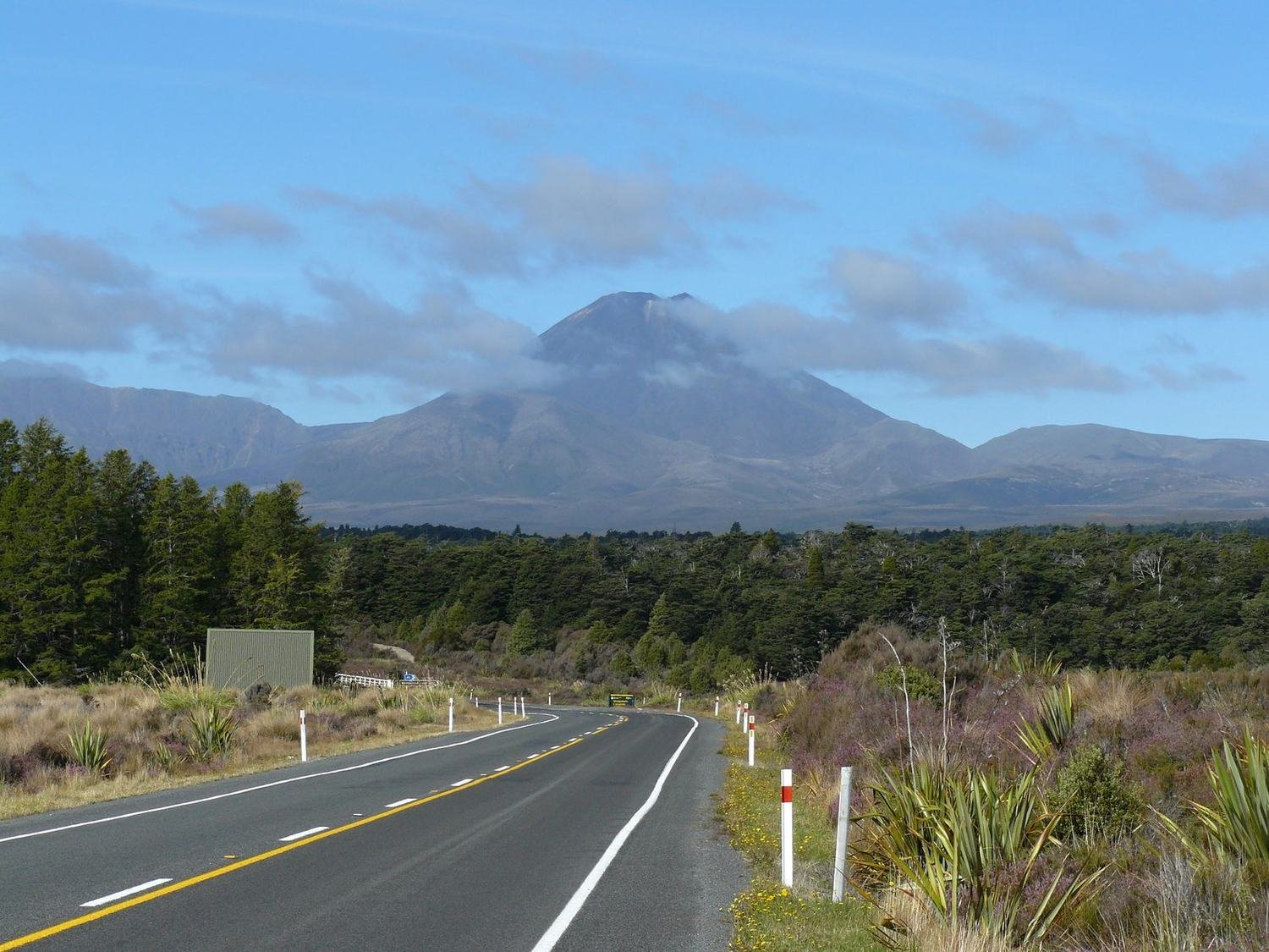
From Tongariro we drove to Lake Taupo and on to Auckland, from where we flew to Argentina.
Practical tips
The best time for treks is the New Zealand summer from December to March. Huts on the popular treks need to be booked in advance. Buying a car pays off if you are staying longer than a month.