The temples of Kathmandu during the Tihar festival, seventeen days and 250 kilometres around Annapurna, a pass at 5,416 metres and elephants in Chitwan.
Our trip around the world began in Nepal in the autumn. After arriving in Kathmandu we stayed in the Thamel district, where there is one hostel after another with trekking gear shops, restaurants and travel agencies in between. It is a tourist district, but ideal for the first days in Asia. We flew to Kathmandu via Delhi and hardly slept for two nights. The reward was the view from the plane of the white peaks of the Himalayas. The taxi driver took us from the airport with a smile and stopped only twice – for tea and for petrol.
We arrived just in time for Tihar, which after Dashain is the second most important festival of the year. For five days people honour crows, dogs, cows and finally brothers and sisters. Houses are decorated with lights and marigold garlands, and in the evening oil lamps glow in the streets. On top of that the Newars were celebrating their New Year.
The temples of Kathmandu
For the first few days we walked from temple to temple. On a hill above the city stands Swayambhunath stupa, known as the Monkey Temple because of its hundreds of macaques. From the top you can see the whole valley. The monkeys steal offerings, even out of tourists' hands, so we preferred to leave our snacks in the backpack.
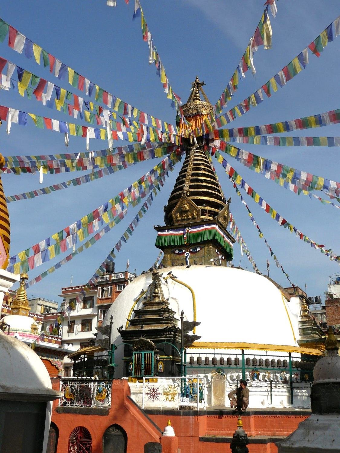
On Durbar Square stand the wooden temples and palaces of former kings. Some are several hundred years old and their beams are decorated with carved figures of gods. Vegetables are sold between the temples, pigeons flock to be fed and people sit on the steps. On the square a persistent “guide” attached himself to us. In the end he turned out to be a funny fellow who laughed at absolutely everything, so at least we got some information out of him.
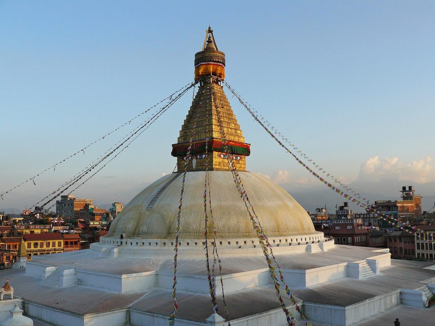
The strongest atmosphere is at Boudhanath stupa, one of the largest in the world. Tibetan refugees live around it, and in the evening pilgrims walk around it clockwise, spinning prayer wheels and reciting mantras. Around the stupa there are many monasteries with prayer bells. After the noisy centre, where everyone honks all the time, it was a treat for the ears too.
The Annapurna Circuit
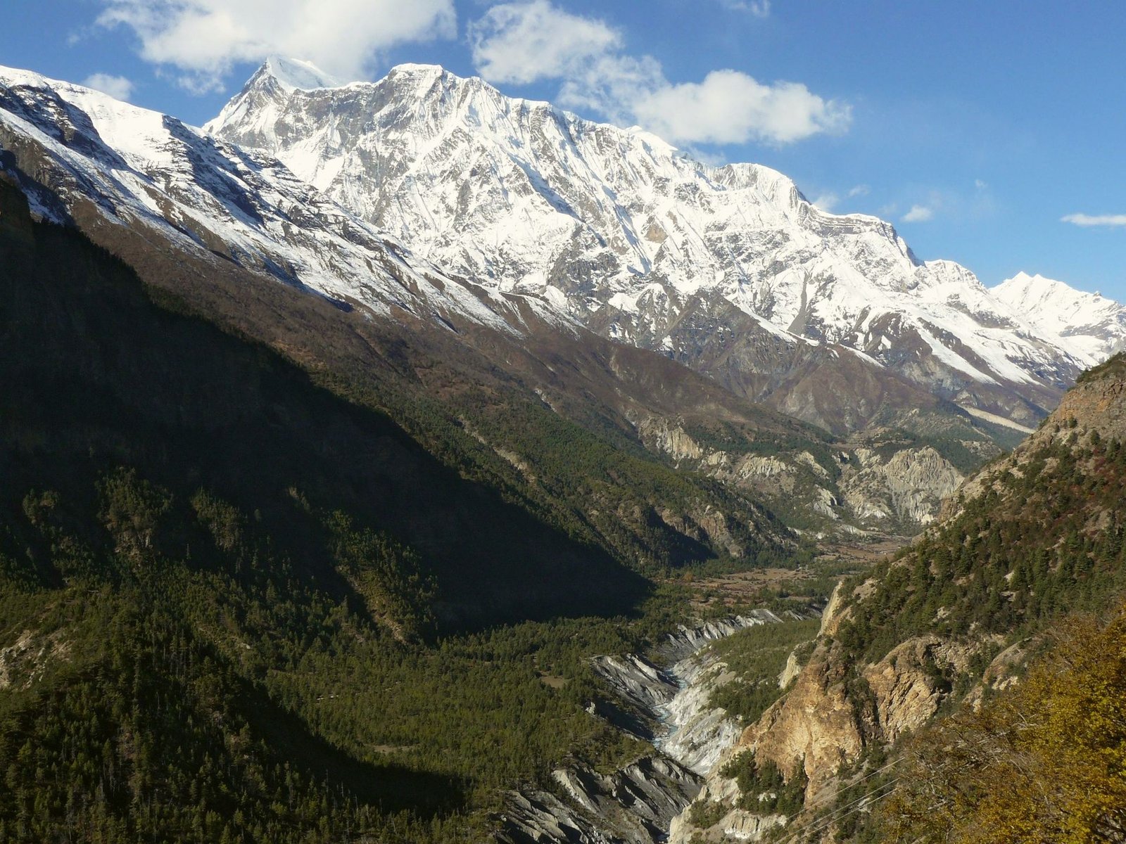
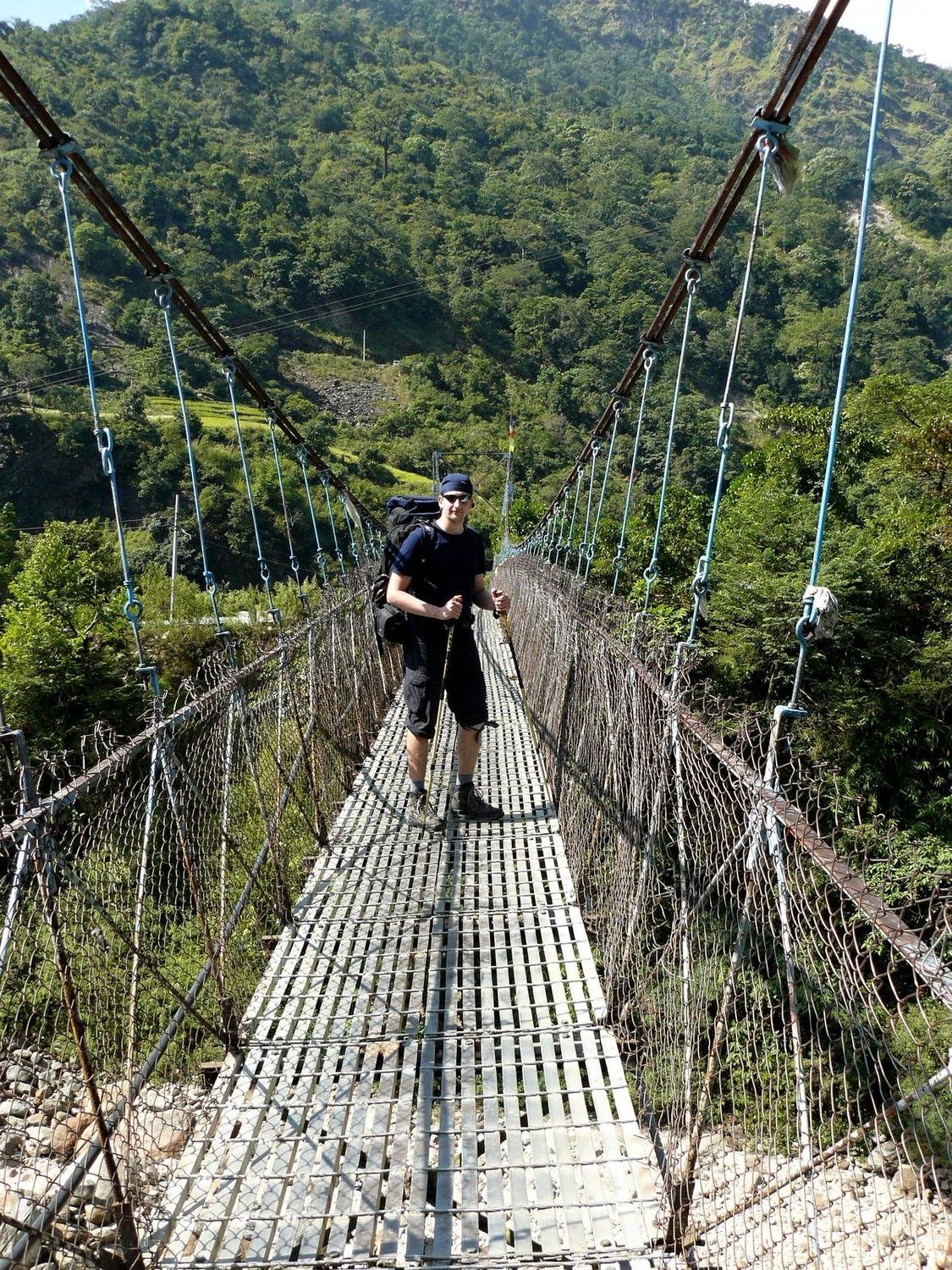
Our main goal was the trek around the Annapurna massif. The circuit is about 250 kilometres long, starts in the village of Besisahar at 800 metres and culminates at the Thorung La pass. We went without a porter or guide, carrying our own backpacks. We completed it in seventeen days, keeping about half a day ahead of the stages in the guidebook the whole time. For the first few days the trail follows the Marsyangdi river valley through rice fields and villages. You cross the river on suspension bridges, which are also used by caravans of donkeys and mules. When a caravan comes towards you, it is better to wait at the edge of the bridge.
For the first four days you climb through villages, past fields of rice and maize, with bananas growing everywhere. It is hot and you grumble about the heat. Above three thousand metres the landscape looks more like Canada – colourful autumn forests with six-, seven- and eight-thousand-metre peaks above them. And you grumble about the cold.
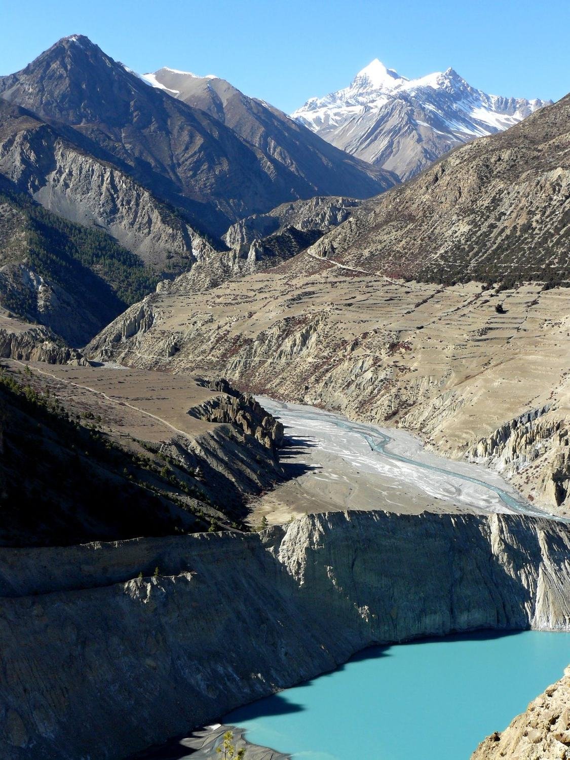
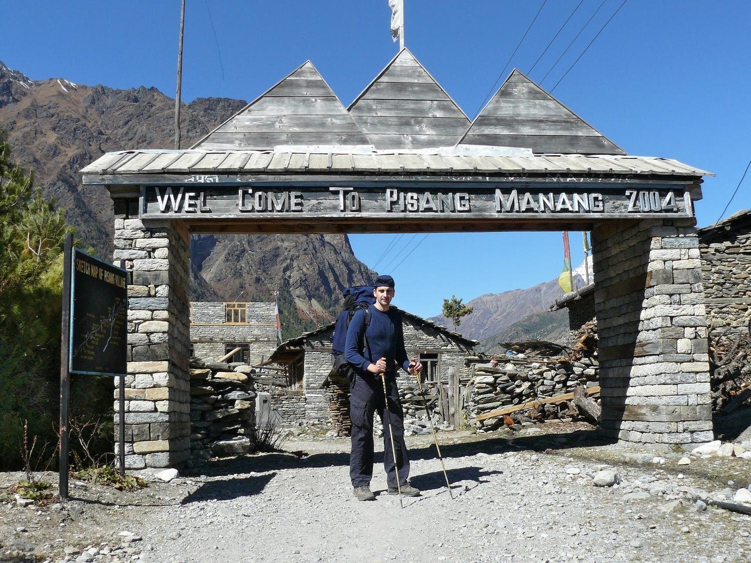
The landscape and the people change with altitude. Rice and banana plants give way to pines, then just stones and shrubs. The villages are home to people of Tibetan origin, and at their entrances stand gates with prayer wheels and stupas.
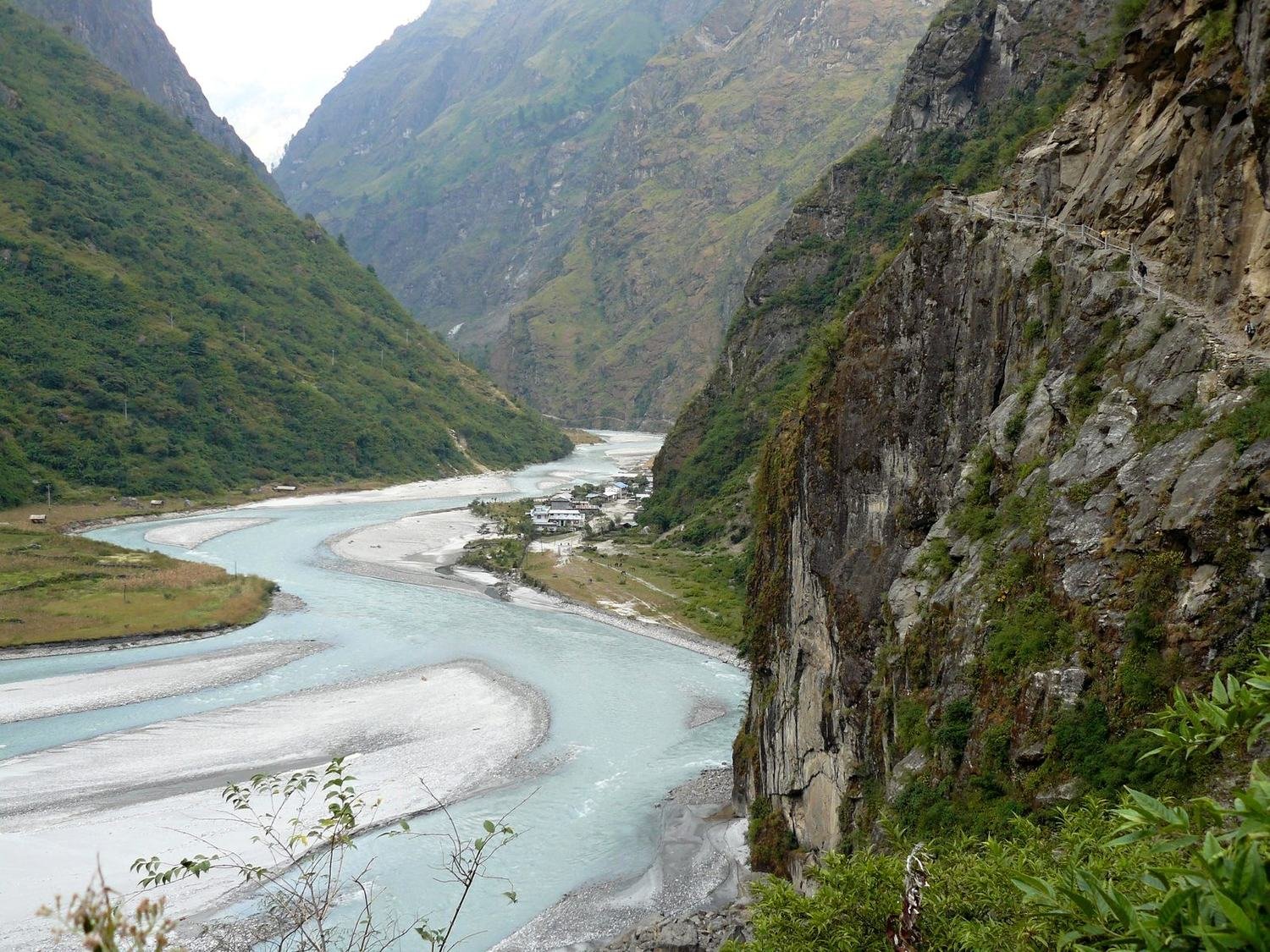
We stayed in the village of Manang at around 3,500 metres to acclimatise. Above the village is a glacial lake below Gangapurna. In the afternoon we climbed a few hundred metres higher and came back down to sleep, as the guidebooks advise. Thanks to our half-day lead we always slept a few hours further on than the guidebooks recommend. That meant more modest lodgings, but no other trekkers.
The Thorung La pass
On the day of the crossing we set off from Thorung Pedi at 4,450 metres while it was still dark. The water in our bottles was frozen and we were out of breath after a few steps. The trail climbs in switchbacks and behind every bend you expect the pass. Most people got up at three in the morning, and head torches flickered on the hill above us. We set off before six, when it was already light. After five hundred metres of ascent we warmed up with tea at High Camp and continued another five hundred metres up. At a teahouse at around 5,200 metres our heads started to spin.
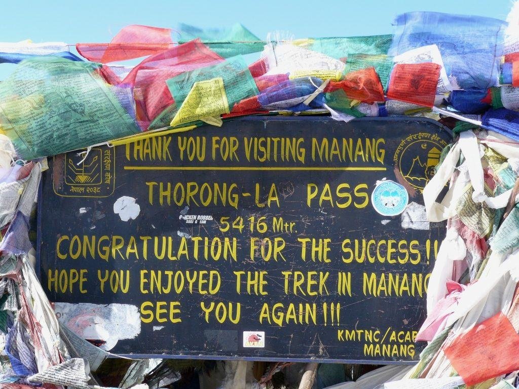
Somewhere halfway I said to myself: “If the pass isn't behind that bend, I'm going down.” It wasn't. We kept going step by step, and at half past ten we stood by the sign reading 5,416 metres. Prayer flags, wind and white peaks all around.
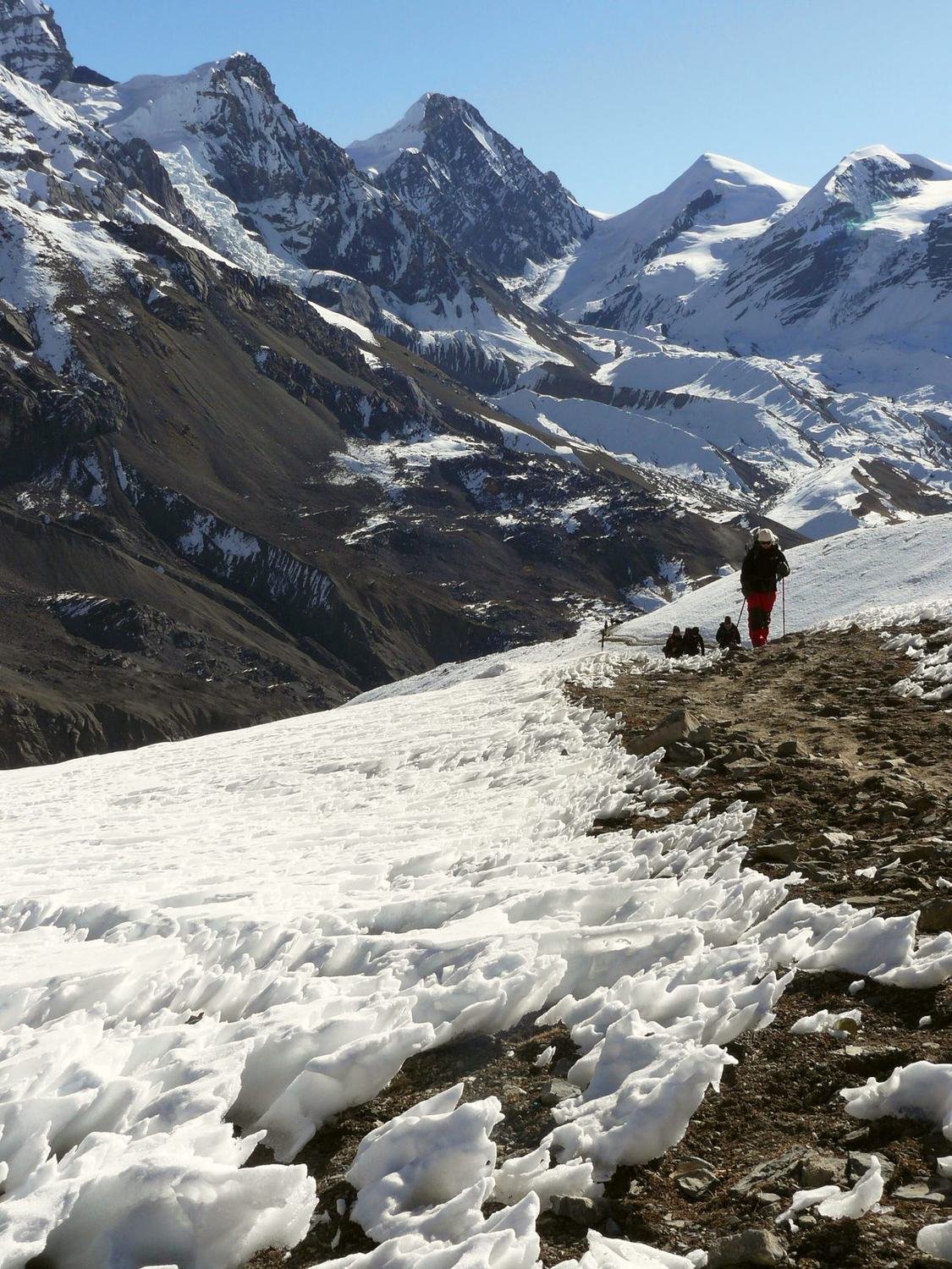
The descent to Muktinath at 3,800 metres was long and steep. Our heads and knees hurt. Muktinath is a place of pilgrimage for both Hindus and Buddhists, and even elderly people from India come to its temple. On the other side of the pass a view opened up into the Upper Mustang valley. Brown, dusty hills with almost no vegetation and snowy peaks above them. We felt as if we were in an open-cast coal basin.
From there the trail follows the Kali Gandaki river valley, the deepest valley in the world. On one side stands Dhaulagiri at 8,167 metres, on the other Annapurna. In the afternoon a strong wind blows through the valley carrying dust.
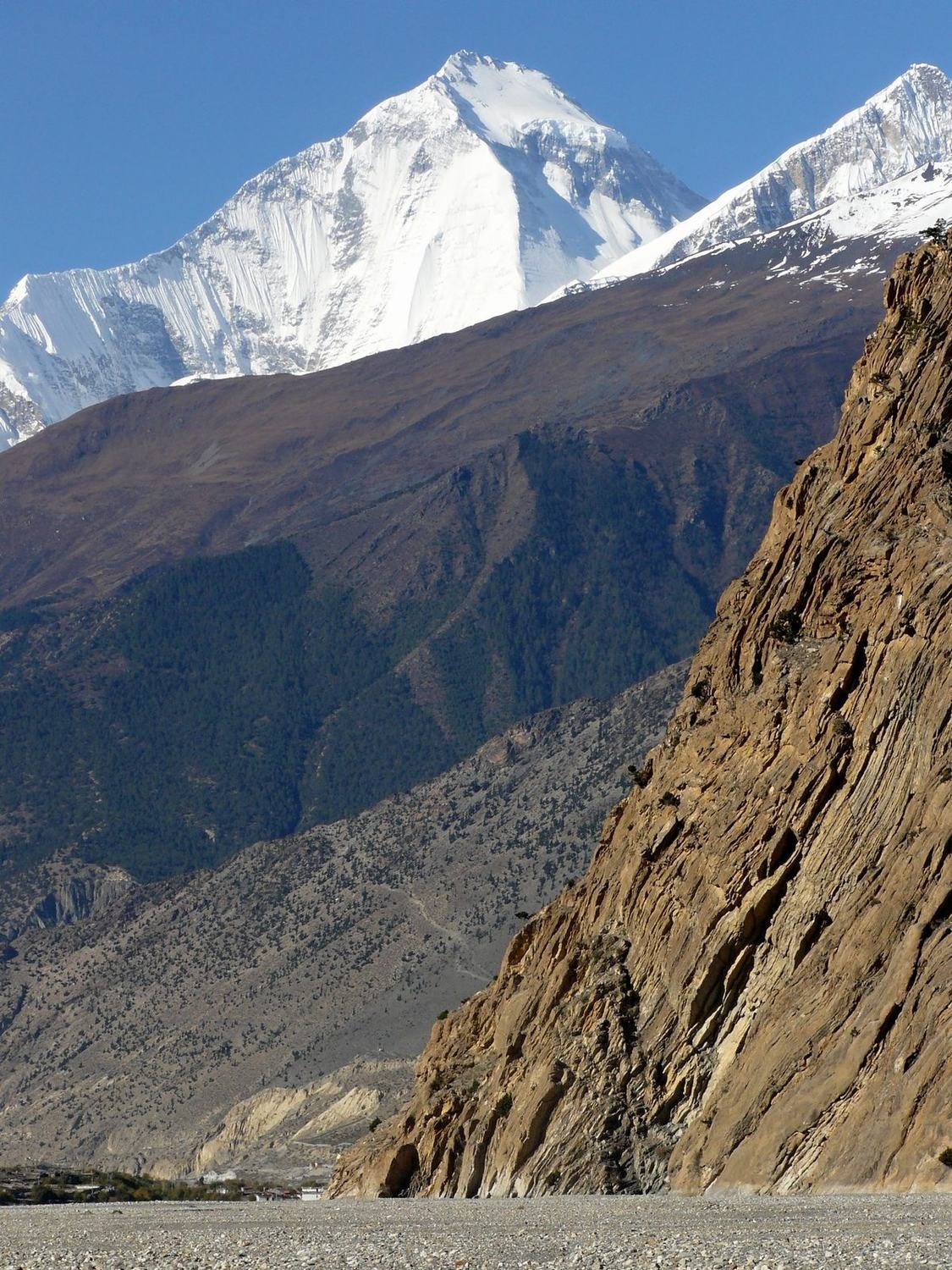
We finished the trek in Pokhara on Phewa Lake. After seventeen days in the mountains we enjoyed pizza and cold beer. We hired a boat on the lake and watched the Annapurnas reflected on the water.
The Chitwan jungle
To finish, we went down to the Terai lowlands to Chitwan National Park. The trip cost two thousand rupees, about twenty euros. In the morning we paddled in a dugout canoe past crocodiles and then walked through the jungle with a guide. We saw tiger tracks, deer and lots of birds. In the afternoon we went on an elephant ride. This time we did not see the rhinos that people come here for.
We stayed in the village of Sauraha on the edge of the park. On the elephants people sit on cushions in a wooden box and the mahout steers the elephant with his feet behind its ears. We chased rhinos with six elephants, but again we saw only deer.
Practical tips
The best time for the trek is October and November, when the sky is clear and the mountains are visible. The Annapurna Circuit requires a permit and a TIMS card. Do not rush acclimatisation – a headache on the pass is normal, but if it gets worse, the only cure is to descend. I run an expedition to Nepal. You will find the dates on the page Expeditions.