Arequipa and an earthquake, two days in the Colca Canyon, a five-day trek to the Inca city of Choquequirao, the bird islands of Ballestas and the Santa Cruz trek below the glaciers of the Cordillera Blanca.
We came to Peru in May from Bolivia across Lake Titicaca. Our first stop was the town of Puno. We tested the altitude of around four thousand metres on the steps up to the Mirador del Cóndor viewpoint and were as out of breath as on Prague's Petřín hill – so all good. People come to Puno mainly for the floating reed islands of the Uros. On the jetty self-appointed captains swarmed around us, the boats did not fill up and one took us standing only. That farce made us feel sick, so we went straight to the bus station and bought tickets to Arequipa.
Arequipa and an earthquake
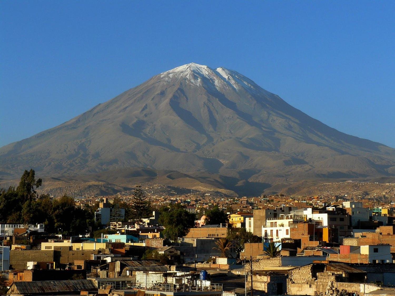
Arequipa thrilled us. Peru's second-largest city lies in a valley below the El Misti and Chachani volcanoes. We stayed in a hostel with terraces and crooked staircases that felt like a fortress.
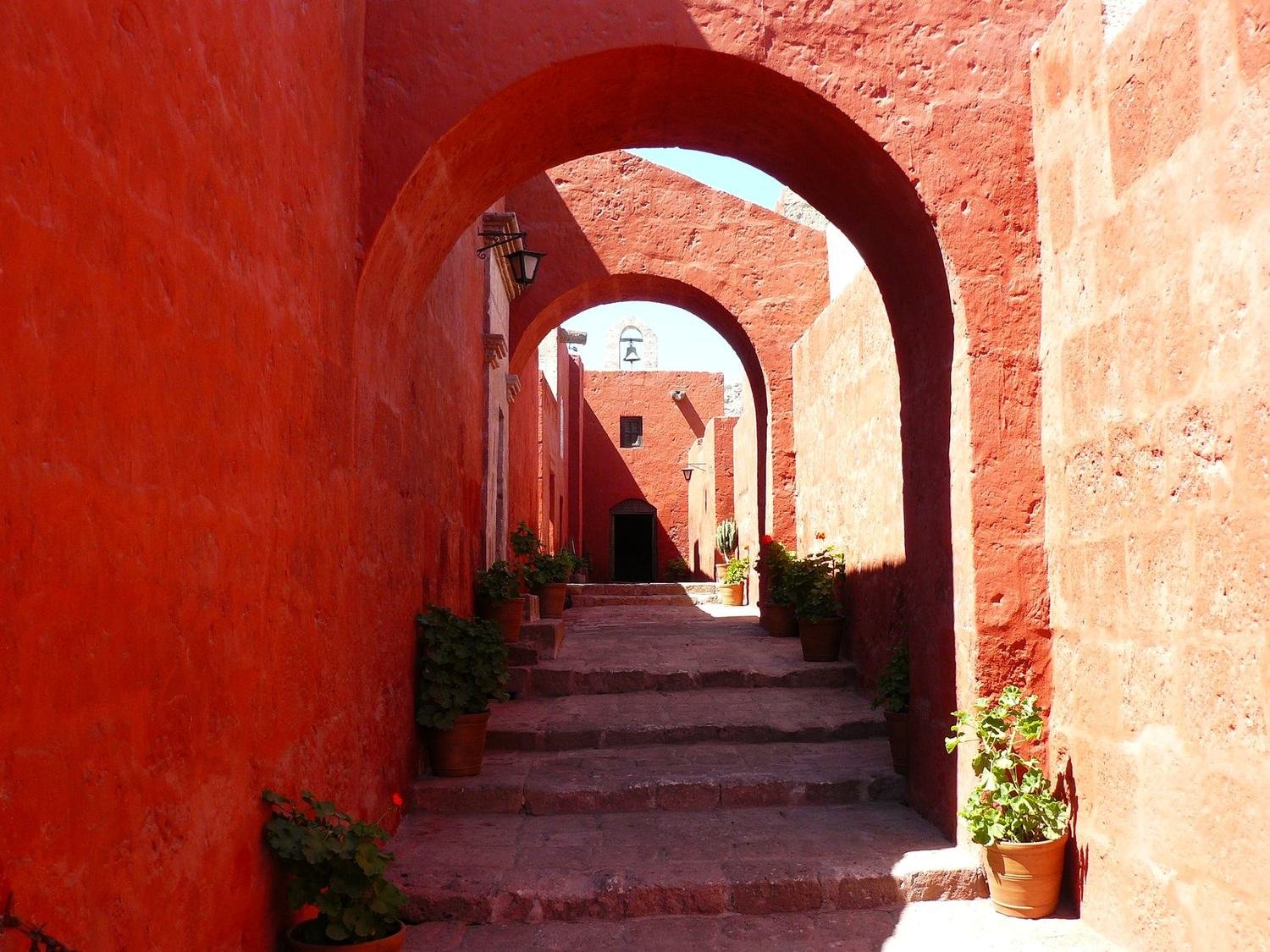
Right opposite stood the Santa Catalina monastery, one of the city's main attractions. The visit took us half a day. It is a closed city within the city, with its own lanes named after Spanish cities and nuns' houses with one or two small rooms, a little kitchen and a yard. The red and blue walls are a photographer's paradise.
In the evening we were lying in bed when it started to shake. Then the table and everything on it shook too. We ran outside – only the foreigners were worried; the locals looked bored and the thump-thump from a nearby disco carried on. The next day we read in the paper that the earthquake, centred near Tacna, had measured 6.5, fortunately without major damage.
The Colca Canyon
From Arequipa we took a six-hour bus to the village of Cabanaconde above the Colca Canyon. The next day we descended to the river without a tent, which took about five hours. The sun was scorching, with rocks and cacti all around.
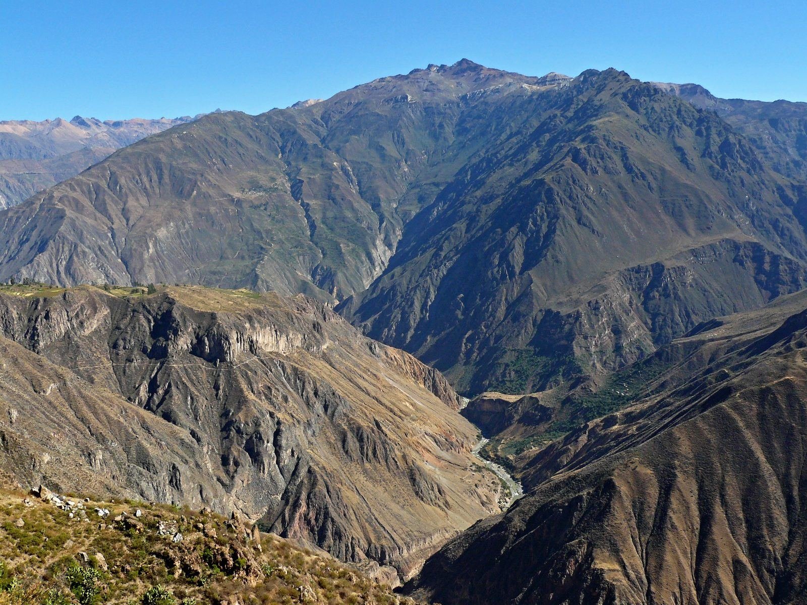
In the settlement of Llahuar a local recommended the hot springs by the river. A small pool sits right where the hot water comes to the surface. We had it completely to ourselves. In the evening he cooked us dinner and we fell asleep in a bamboo hut to the sound of the river. In the morning we set off before sunrise. First uphill, over a ridge to the river and then up the opposite slope. By noon we were swimming in a cold-water pool in the Oasis settlement. Then four hours in the sun up a steep hill back to Cabanaconde awaited us. Hell, but a beautiful canyon.
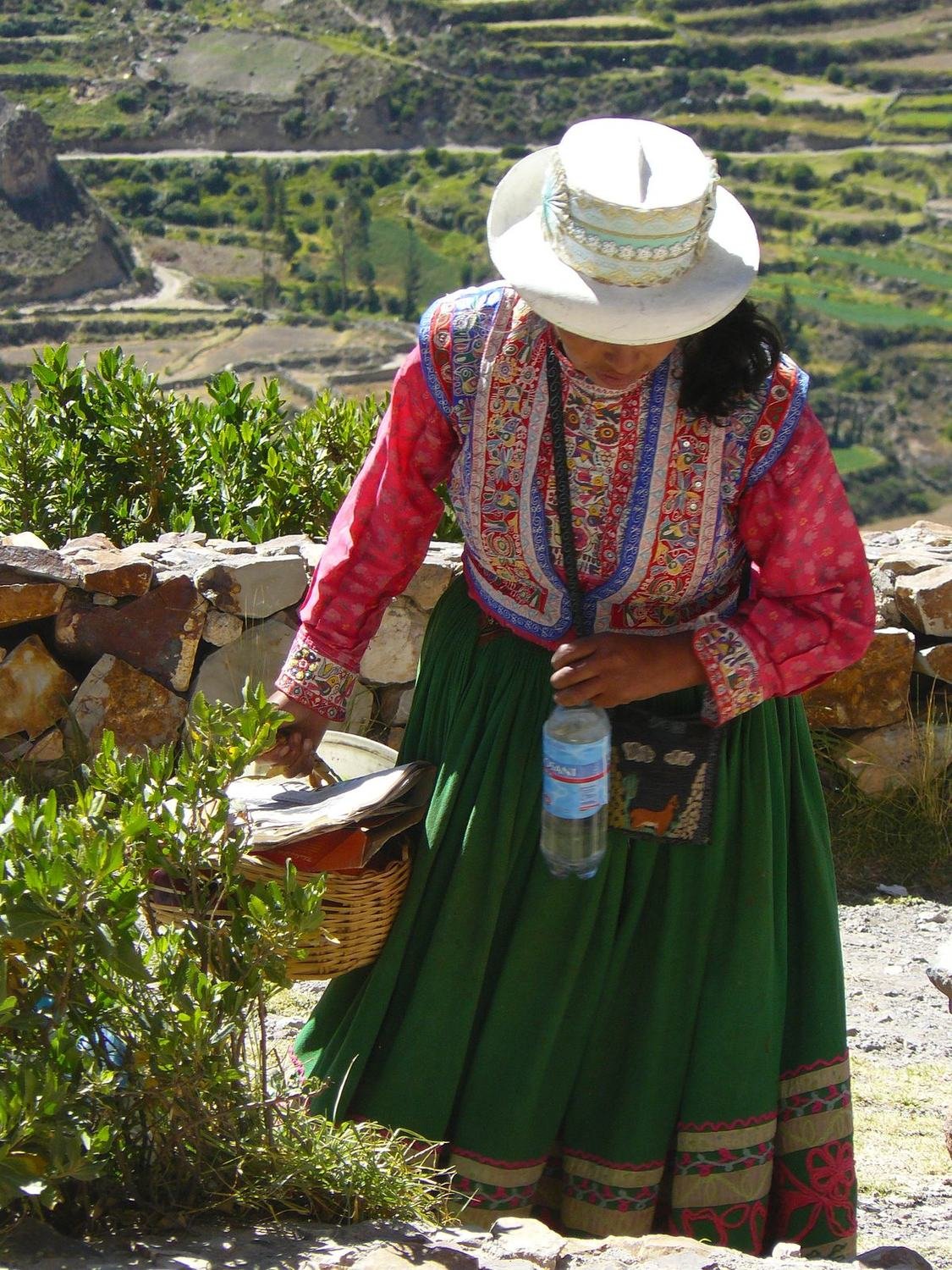
We had already seen condors in the valley, so we skipped the Cruz del Cóndor viewpoint with its busloads of tourists and continued to Cusco.
Cusco and Pisac
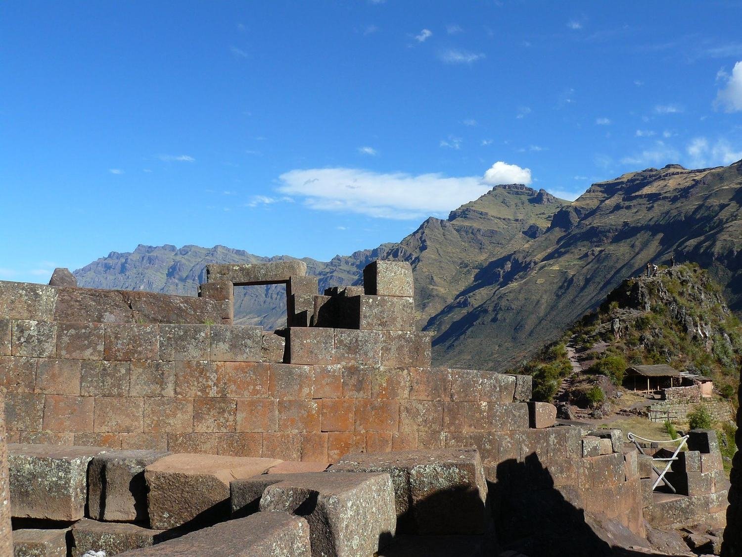
In Cusco we expected crowds and annoying touts. They are there, but it is enough to stay in the smaller lanes away from the Plaza de Armas, eat in local eateries and ignore all the “hallo tour, hallo massage”. Our practice from India paid off. The churches and streets in the centre are worth seeing; the best is Coricancha with its Inca walls of precisely cut stones. But our favourite was Pisac – a small village below a hill with extensive Inca ruins and terraces.
The Choquequirao trek
We considered Machu Picchu, but the trek to the Inca city of Choquequirao won – I had had a tip about it for two years. It is almost as large as Machu Picchu, only half of it still lies in the forest. Czech travellers we met confirmed that Machu Picchu is mainly a tourist bubble. From Cusco we took a four-hour bus and then a local car to the village of Cachora. We were told it is better to allow five days. We wanted to do it in four – in the end it took four and a half, because the trek is not technically difficult but it is really tough.
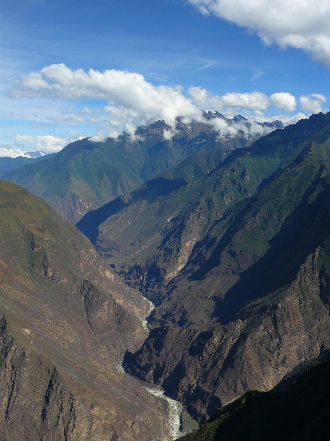
We carried everything on our backs – tent, stove, food for five days. We took water from streams and purified it. On the first day we walked for three hours along a slope without a scrap of shade to a viewpoint overlooking two valleys and the Apurímac River far below us. An eagle and later a condor circled overhead. Then came the descent to the river. After two hours of descending the river hardly seemed any closer and our knees hurt. Across the river we could see endless switchbacks up to the top of the mountain. Is that what awaits us tomorrow?
We reached the settlement of Playa Rosalina completely exhausted. In three hours we had found about four spots of shade, but the meadows were full of colour, with butterflies and hummingbirds flitting about. We had dropped from 3,100 to 1,300 metres, and at night by the river it was hot and full of mosquitoes. In the morning we got up early so that the sun would catch up with us as late as possible. The slope that looked easy the day before was brutally steep. After two hours we reached the Santa Rosa hut looking as if we had just come out of the shower. After another three hours we were in the settlement of Marampata and could see Choquequirao on the hill opposite.
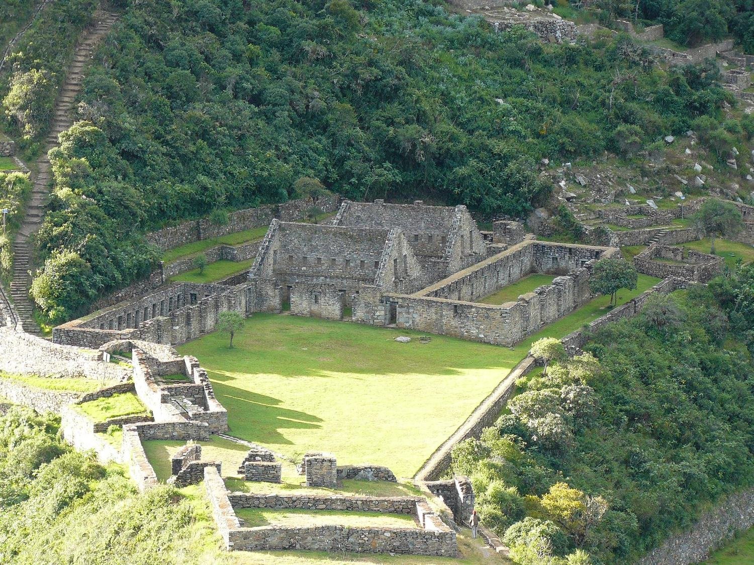
Below the city are terraces, and another 1,500 metres lower the bottom of the Apurímac canyon. At that moment the Colca Canyon lost out. In the evening I climbed another 300 metres up to the city. There were only two Peruvians, the sun, the wind, the mountains and somewhere the Incas. We kept the whole of the next day for exploring. In the season five to fifteen people come here a day. On the main square the houses are well preserved, below it are terraces, and from the flat-topped hill opposite there is a view of the city and down into the valley. We saw no crowds – and that was exactly why we came.
Nazca and the Ballestas Islands
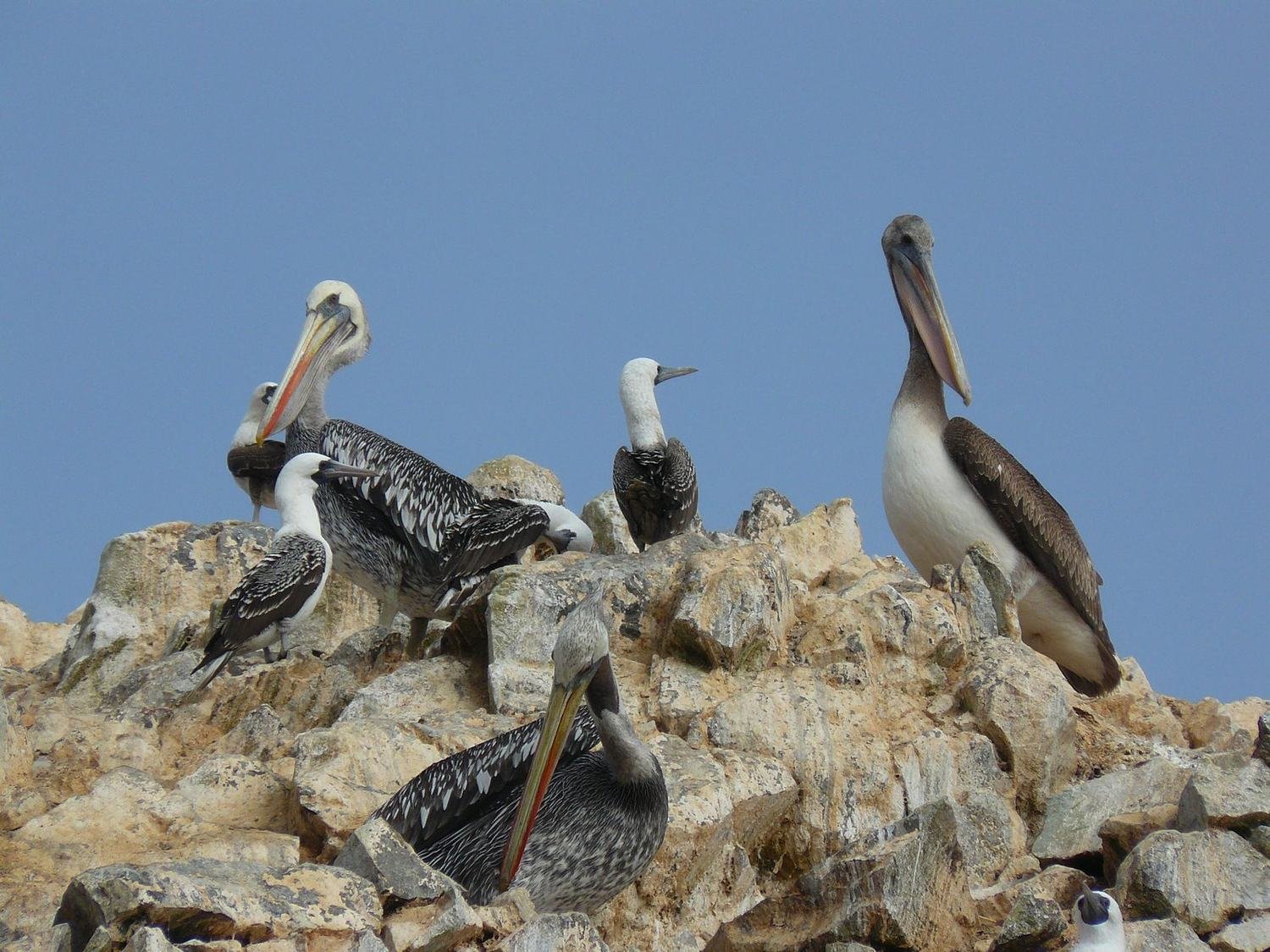
In Nazca one of us paid for a sightseeing flight over the mysterious lines. The best are the condor and the hummingbird. The figures are smaller than you would expect, and by the fifth one his stomach was really not happy. Neither of us became a big fan of sightseeing flights. From Pisco we took a boat to the Ballestas Islands near Paracas National Park. On the way we passed the Candelabra figure carved into a sandy slope. Huge numbers of birds nest on the rocks of the islands – gulls, cormorants, pelicans and even penguins. Every few years the bird droppings are harvested here and sold as fertiliser.
The Santa Cruz trek
Via Lima we took a night bus to Huaraz below Peru's highest mountains. According to the guidebook, the Santa Cruz trek in the Cordillera Blanca has “killing views” – after all, it passes Huascarán and Alpamayo. On the first day we climbed a valley along a mountain stream. The rock walls were so close that no high mountains could be seen. On the second day we slowly gained height past lagoons and pastures. Towards evening the view finally opened up to Alpamayo and other peaks of almost six thousand metres.
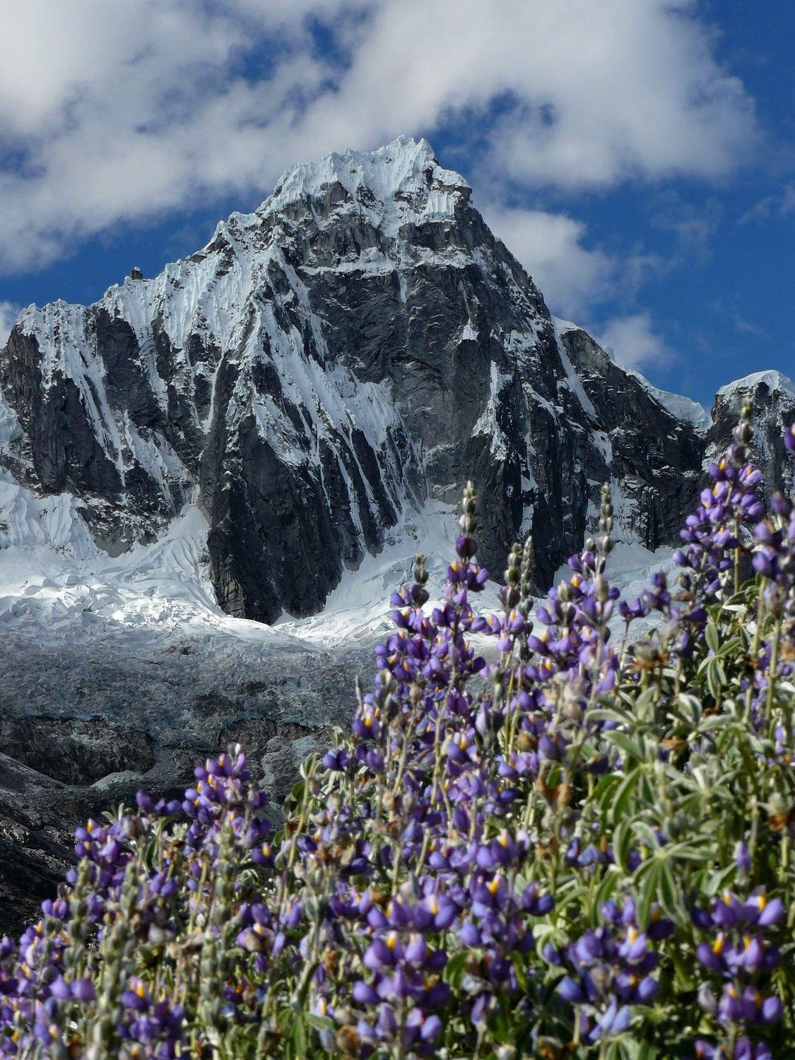
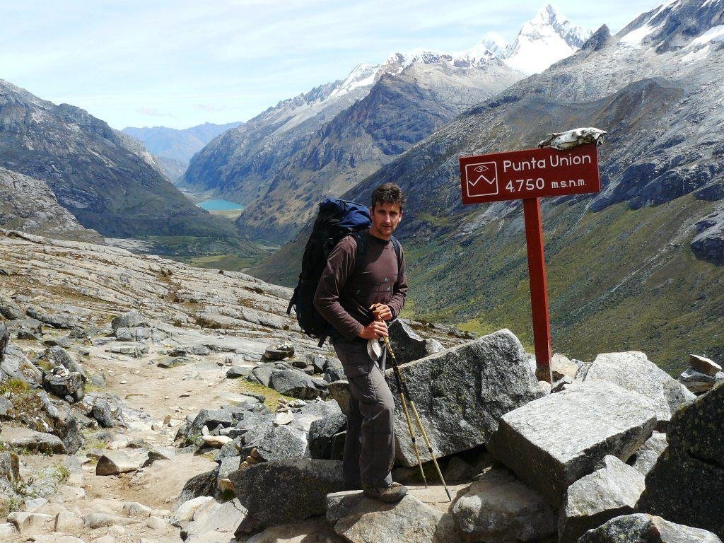
Above the pass we were to cross towered a mighty mountain with a glacier reaching down to a lagoon. At night there was a full moon and it felt magical. In the morning we literally crawled up to the Punta Unión pass at 4,750 metres.
On the last day we descended through villages that reminded us of Nepal. We rode back in a small bus over another pass above 4,500 metres. A kilometre of drop below us, endless switchbacks, and on the straight stretches the driver still overtook another bus. That was the real “killing” – the Death Road in Bolivia has nothing on it.
Practical tips
For treks in Peru it pays to have your own tent and gear, or to hire donkeys with a local guide. Choquequirao is physically demanding; allow five days. Four are enough for Santa Cruz. I am preparing Peru as an expedition. If it appeals to you, let me know in the questionnaire Where next?